How Mountain Week Prepares Aviators to Serve in the Green Band
Our Mountain Week campaign is almost over. If you haven’t already, read about what the mechanics do in Bush Week.
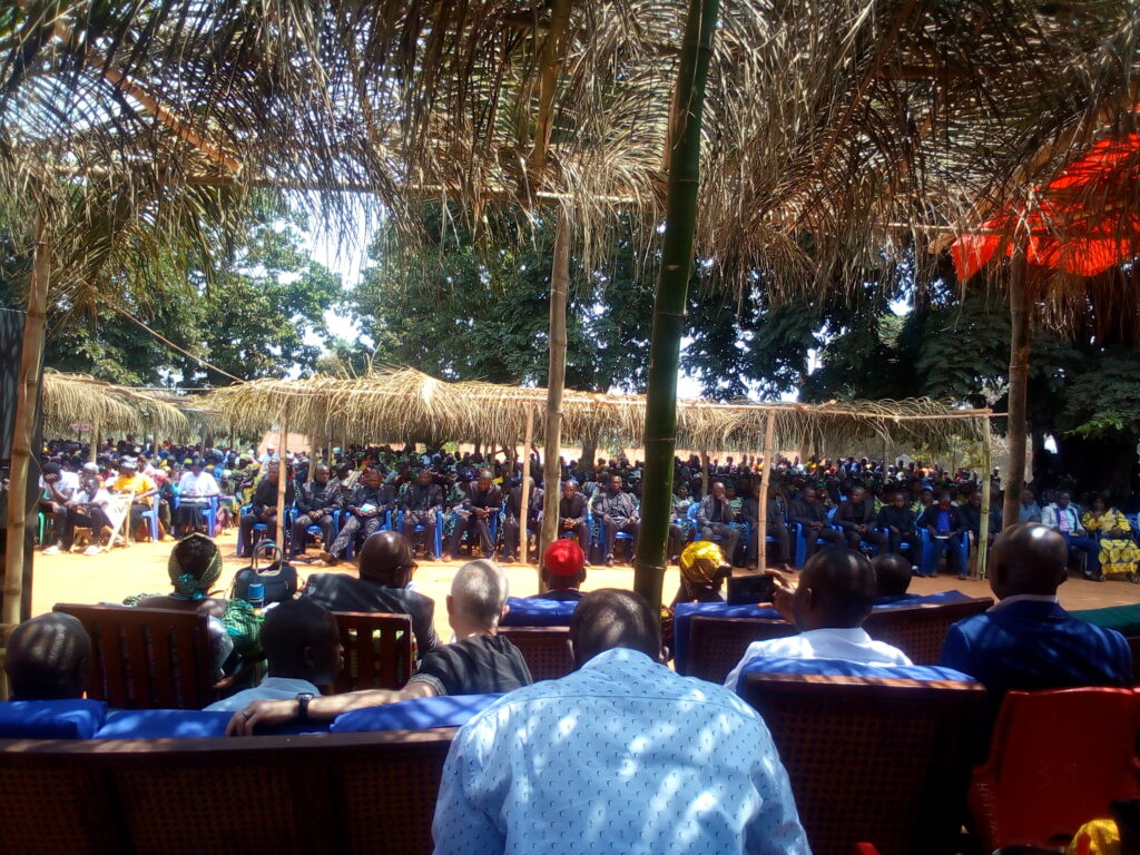
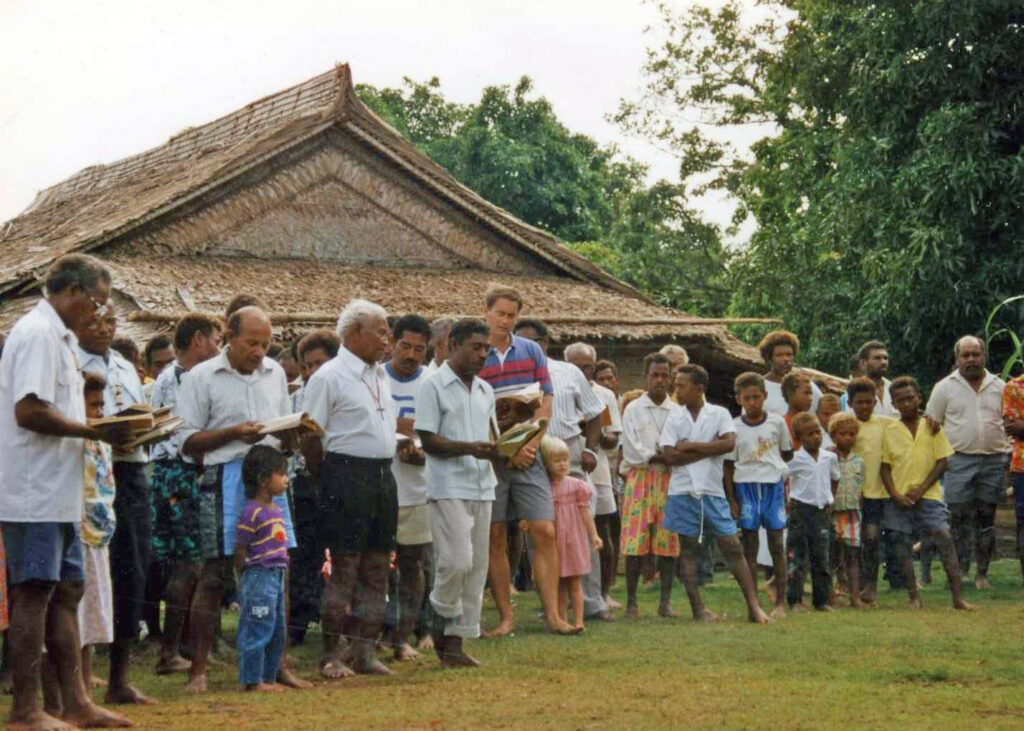
Imagine that you’ve been called to share the gospel with a group of people who are separated from you by many miles of vine-tangled, steep mountains that would take weeks to navigate. What do you do?
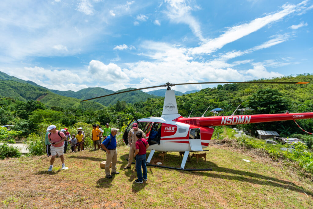
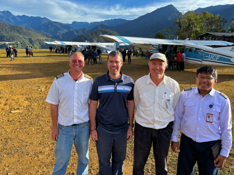
Hopefully, you can just hop into an STOL (short takeoff and landing) airplane or helicopter with a pilot who’s been trained at JAARS. A pilot who’s been trained to navigate the unique challenges in this environment.
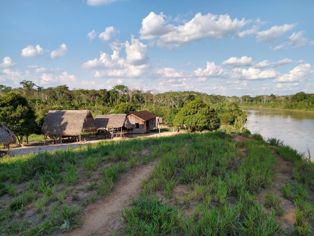
The green band of rainforest climates around the world is where JAARS primarily operates: the Pacific, Central African, and South American rainforests. Steep, rugged mountains, unpredictable weather, and hand-carved airstrips make flying in these places one of the toughest jobs on earth.
Check out the two runways described below. You’ll see why it’s so important to train hard, and why Mountain Week exists.
Runways in the Green Band
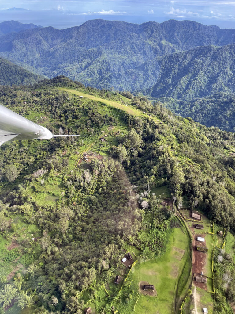
Nankina: On Top of the World
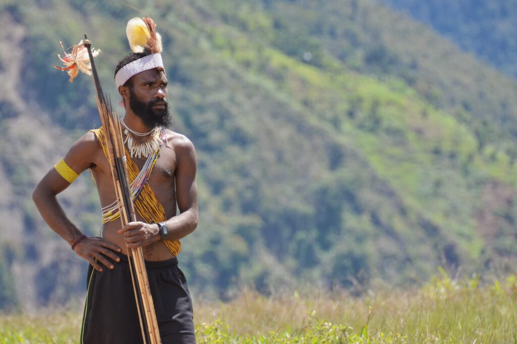
Region: Papua New Guinea
Surface: Grass/clay
Elevation: 5,580 feet
Length: 1,772 feet
Width: 102 feet
Slope: 10.1% (The standard slope in the U.S. is 3%)
Language group served: Nankina
Located on the northern slope of the Finisterre mountain range in Papua New Guinea, this runway serves the Nankina people and missionaries who live beside the airstrip. Pilot Brent Fox says, “It’s our most challenging [type of runway] due to a combination of runway length, slope, undulations, soft surfaces, challenging weather, and winds.”
Often a cloud hangs directly in the approach path, while the sky’s clear on the other sides. The terrain drops off steeply in all directions, making you feel like you are on top of the world. “It’s one of those places where, after landing and the adrenaline rush subsides,” Brent says, “I look down the runway and think, ‘What a unique place to land an airplane!’”
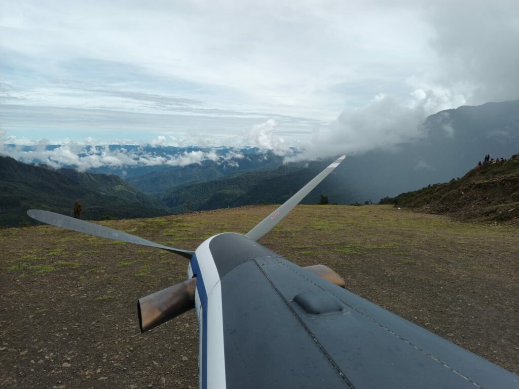
Mulun: Built Without Machines
Region: Papua, Indonesia
Surface: Gravel
Elevation: 7,030 feet
Length: 486 meters/1,594 feet
Width: 12 meters/39 feet
Slope: 16% average, with a side slope of 4% at touchdown decreasing to 2% at top
Language group served: Lik
Mulun is the highest runway that our aviation partner, YAJASI, actively serves. Fog is often an issue, even after other runways in the area clear up.
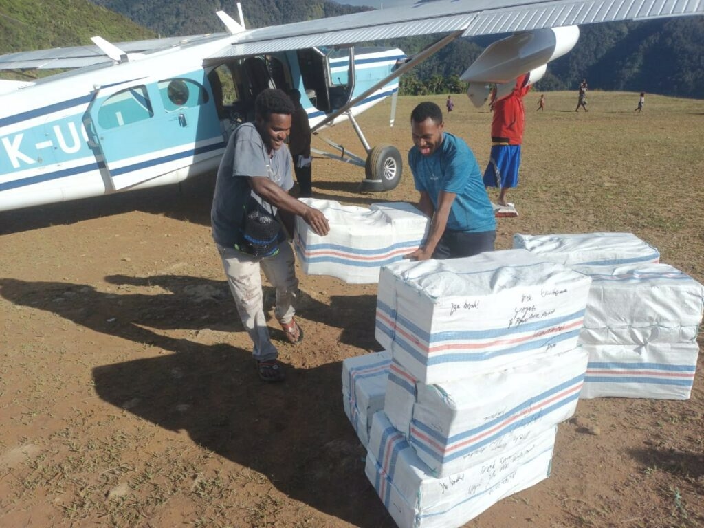
Not a single machine was involved in the making of the runway. The people of Mulun used shovels, prybars, and rice sacks. After excavating the dirt and rocks needed to build the runway, workers hauled the materials in rice sacks hung between two poles to the runway.
Why do all this?
Well, would you rather carry 100 pounds of rice to the people of Mulan via bumpy roads, a daylong boat trip, or a hike of five to seven days OR instead take them 1,200 pounds via a one-hour flight?
Why Train in the NC Mountains?

These are the kinds of airstrips that the JAARS pilot orientees will land on and take off from overseas. Once the pilots are in-country, they’ll be trained for the specific airstrips, but we want to minimize the training our partners have to do on the field so they can spend more time covering the last mile of missions.
“JAARS is really good at taking someone who is not familiar with JAARS procedures and then training them up to the point where they’re now a JAARS pilot,” said Philip Busk, one of the fixed-wing pilot orientees. “The guys on the field are really good at taking someone who’s a JAARS pilot and training them to fly in the specific environment that they’re assigned to.”
Although the mountains in North Carolina are nowhere near the elevation of the mountains in Papua New Guinea or Indonesia, many of the tactics the orientees practiced are the same:
- Modifying the pattern to fly a little closer to the runway because of the terrain
- Flying up the valley and then safely turning around if the weather is bad
- Landing when unable to see the runway until about a mile away because it’s at the end of a long, windy valley
- Landing on ridges
Because the pilots trained in the North Carolina Mountains, they’ll be much more prepared as they tackle higher mountains and crazier weather in more remote locations.
This training isn’t possible without people like you stepping into the aircraft with us and giving sacrificially. Your gifts today will cover the last mile to the unreached.